
Gerberstraße
Gerberstraße wird klassifiziert als:
- Öffentlich befahrbare Nebenstraßen mit einfachstem Ausbauzustand, typischerweise keine Mittellinie.
Googlekarten
Quelle: OpenStreetMap
| In der Nähe von ,,Gerberstraße´´ | |
|---|---|
| Bahnhofsanlage | Dortmund Bbf, Dortmund West, Dortmund-Westerholz, Dortmund-Obereving, Dortmund Möllerbrücke, Dortmund Süd, Dortmund Signal Iduna Park, Güterbahnhof Dortmund-Süd, Dortmund Hbf, Dortmund-Eving, Dortmund Stadthaus |
| Bergbaubetrieb | Zeche Tremonia |
| Farm / Landwirtschaft | Hangufer |
| Gebäude | Sankt Reinoldi, Petrikirche, Synagoge und Gemeindezentrum Prinz-Friedrich-Karl-Straße Dortmund, Klinikum Dortmund, Sankt-Johannes-Hospital Dortmund |
| Industrie- und Gewerbefläche | Dortmund |
| Kanal (Schifffahrt) | Dortmund-Ems-Kanal, Kanalhafen |
| Stadion | Stadion Rote Erde, Signal Iduna Park |
| Turm | Florianturm |
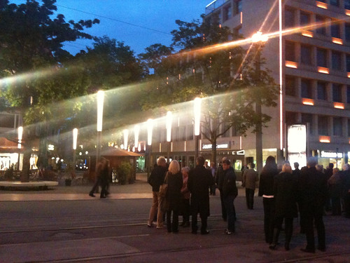
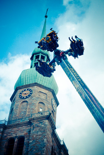
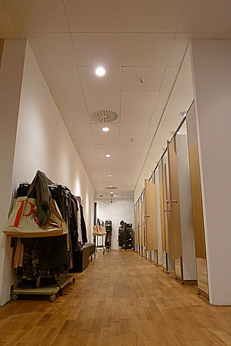
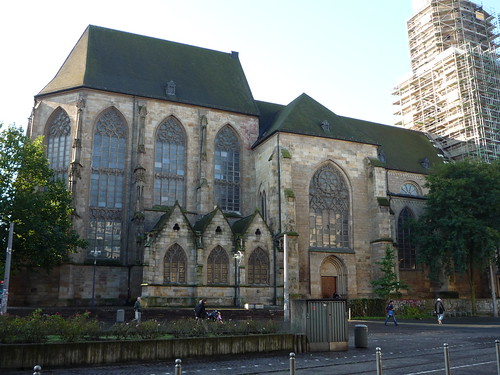
Fotos aus der Nähe Gerberstraße

 (von champmol)


Strassen in der Nähe von ``Gerberstraße´´
- Gerberstraße (0.03km)
- Brückstraße (0.06km)
- Hohe Luft (0.07km)
- Lütge Brückstraße (0.09km)
- Reinoldistraße (0.13km)
- Gnadenort (0.14km)
- Helle (0.15km)
- Platz von Leeds (0.15km)
- Ludwigstraße (0.16km)
- Friedhof (0.17km)
- Bischofsgasse (0.18km)
- Thomasstraße (0.18km)
- Stubengasse (0.19km)
- Museumsgasse (0.19km)
- Salzgasse (0.19km)
- Lühringhof (0.21km)
- Burgwall (0.21km)
- Westentor (0.21km)
- Alter Burgwall (0.21km)
- Petergasse (0.23km)
- Freistuhl (0.24km)
- Kuckelke (0.24km)
- Mönchenwordt (0.24km)
- Am Trissel (0.24km)
- Willy-Brandt-Platz (0.25km)
- Burgtor (0.26km)
- Auf dem Berge (0.26km)
- Schuhhof (0.27km)
- Leuthardstraße (0.27km)
- Markt (0.27km)
- Stiftstraße (0.28km)
- Hansastraße (0.28km)
- Hansaplatz (0.29km)
- Schwarze-Brüder-Straße (0.31km)
- Marienkirchhof (0.31km)
- Kampstraße (0.32km)
- Johannisborn (0.32km)
- Petrikirchhof (0.34km)
- Brauhausstraße (0.35km)
- Betenstraße (0.35km)
- Westenhellweg (0.35km)
- Kapellenstraße (0.36km)
- Königshof (0.36km)
- Ostenhellweg (0.37km)
- Bornstraße (0.38km)
- Hunnentränke (0.39km)
- Kolpingstr. (0.39km)
- Propsteihof (0.39km)
- Wißstraße (0.39km)
Geografische Punkte und Wege aus OpenStreetmap in der Nähe von ``Gerberstraße´´
- Petrikirche
- Petrikirchhof
- Sparkasse Dortmund
- Hövelstraße
- Schauspielhaus
- Stadt- und Landesbibliothek, Zentralbibliothek
- Kolpingstraße
- Kuhstraße
- Eisenmarkt
- Opernhaus
- Kolpingstraße
- Kampstraße
- Königswall
- RWE-Tower
- Schwarze-Brüder-Straße
- Propsteihof
- Museum für Kunst und Kulturgeschichte
- Mönchenwordt
- Kampstraße
- Hansastraße
- Schwarze-Brüder-Straße
- Königshof
- Hansastraße
- Leopoldstraße
- Hansastraße
- Silberstraße
- Hansastraße
- Steinstraße
- Burgtor
- Lütge Brückstraße
- Gnadenort
- Bissenkamp
- Burgtor
- Prinzenstraße
- Münsterstraße
- Lütge Brückstraße
- Gerberstraße
- Rathaus
- Brauhausstraße
- Gerberstraße
- Salzgasse
- Helle
- Hohe Luft
- Friedensplatz
- Markt
- Auf dem Berge
- Burgwall
- Betenstraße
- Betenstraße
- Ludwigstraße
- Hauptbahnhof
- Trinkwasserbrunnen
- Auslandsgesellschaft Deutschland e. V.
- Steinwache / Hbf Nord
- Steinwache / Hbf Nord
- Dortmund Hbf
- Steinwache / Hbf Nord
- Auslandsgesellschaft
- Yangtse
- Mahn- und Gedenkstätte Steinwache
- Cinestar
- Fielmann
- Hauptbahnhof
- Dortmunder Freistuhl
- Hauptbahnhof
- Hauptbahnhof
- Propsteihof
- McDonald's
- Linus
- Hauptbahnhof
- Hauptbahnhof
- Kampstraße
- Theatergarage
- Jugendherberge Dortmund
- Chip
- Parkhaus
- Viktoria-Apotheke
- DM
- Opernhaus
- Kampstraße
- Kampstraße
- Nationalbank
- Vapiano
- Thalia
- Hansaplatz
- Jazzclub Domicil
- Dresdner Bank
- Mayersche
- Doc Morris
- Flayva Coffee & Tea Lounge
- Apotheke am Hansaplatz
- Commerzbank
- Strickmann
- Boecker
- Cakes 'n' Treats
- Vegilicious Veggie Shop
- Antons Bierkönig
- Polizeiwache Nord
- Dortmund
- metropolradruhr


