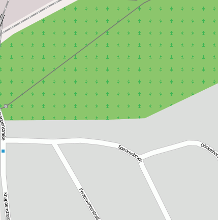
Bottrop (Industrie- und Gewerbefläche)
Bei(m) Bottrop handelt es sich um ein Industrie- und Gewerbefläche. Der zugehörige Postleitzahlbereich ist 46238 und gehört somit zum Ort Bottrop Welheimer Mark.
Gewässer, Gebäude etc. im Umkreis von Bottrop
Bahnhofsanlage: Bottrop Hbf (1.52km), Bottrop Süd (1.28km), Bahnhof Bottrop Süd (1.11km), Haltepunkt Bottrop-Boy (2.26km), Bottrop-Boy (2.69km)
Bergbaubetrieb: Bergwerk Prosper-Haniel II (0.69km)
Hafen: Prosper Hafen (1.78km), Krupp’scher Hafen (1.46km)
Industrie- und Gewerbefläche: Bottrop (0km)
Landschaft: Sturmshof (1.46km)
Stadion: Georg-Melches-Stadion (3.12km)
Verkehrsknoten: Bottrop-Süd (2.11km)
Wasserlauf: Aspel-Flotte (1.46km), Berne (3.1km)
Geografische Punkte und Wege aus OpenStreetmap in der Nähe von ``Bottrop´´
Strassen in der Nähe von ``Bottrop´´
- Speckenbruch (0km)
- Feuerwerkerstraße (0km)
- Döckelhorst (0km)
- Im Emscherbruch (0km)
- Knappenstraße (0km)
- Knappenstraße (0km)
- Am langen Damm (0km)
- Binsenkamp (0km)
Kartenausschnitt von Yahoo


